
2D maps & orthomosaics
Stitched, high-resolution maps of the whole site, ready to measure, mark up and share.
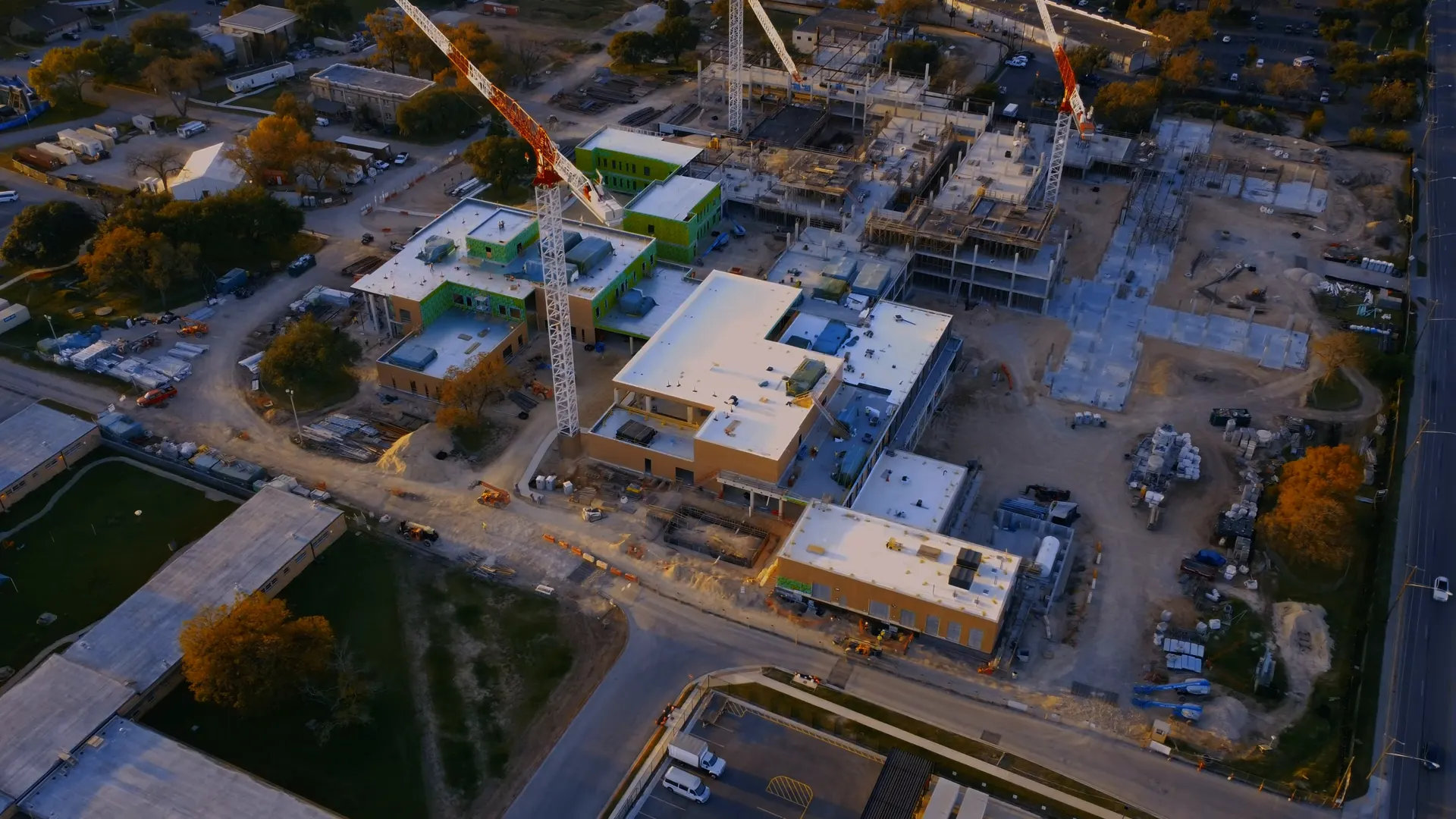
DRONE SURVEYING / MAPPING & 3D MODELS
Aerial maps, measurements, 3D models and progress records that help you plan, measure and make confident decisions — captured safely from above, in a single site visit.
EXAMPLE OUTPUT
SITE AREA
12,460 m²
AERIAL DATA THAT DELIVERS
A clear, measurable view of your whole site — captured in one visit.
We fly a planned grid over your site and capture hundreds of overlapping, high-resolution images. They are processed into maps, models and measurements your team can use — faster, safer and with far less disruption than walking the site with traditional equipment.
WHAT WE DELIVER
Stitched, high-resolution maps of the whole site, ready to measure, mark up and share.
Explore the site from any angle and see the true shape of land, buildings and stockpiles.
Areas, distances, elevations and stockpile volumes, measured from the processed data.
Aerial photography and video for reports, stakeholder updates, marketing and progress.
Delivered in the formats your team already uses — typically GeoTIFF, PDF, OBJ and LAS. We confirm file formats and any CAD, BIM or GIS requirements before the flight.
INDUSTRIES WE SUPPORT
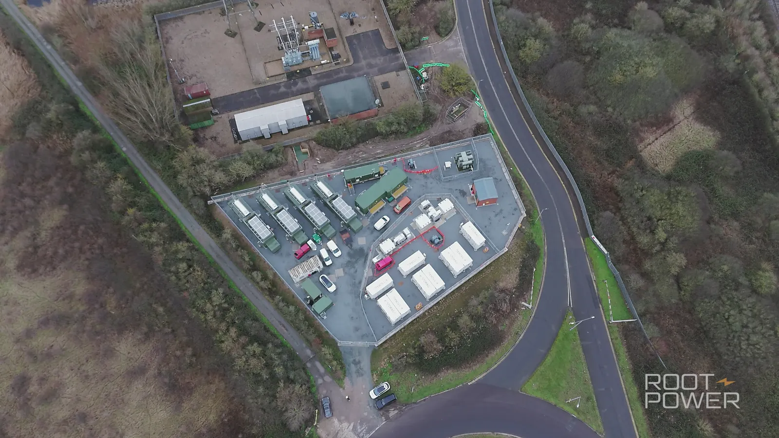
From construction and infrastructure to renewable energy, land and agriculture, our drone surveys give you the accurate, visual data you need to move projects forward — and to keep everyone looking at the same picture.
DISCUSS YOUR SITE →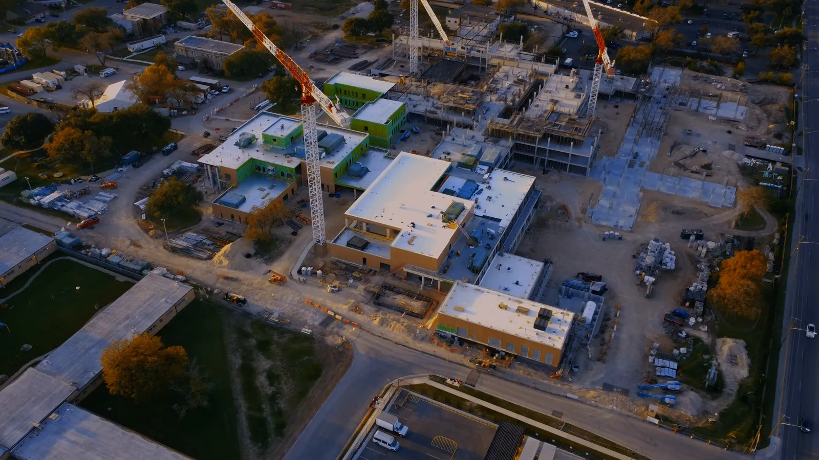 Construction & developmentEnergy & infrastructureOUR WORK
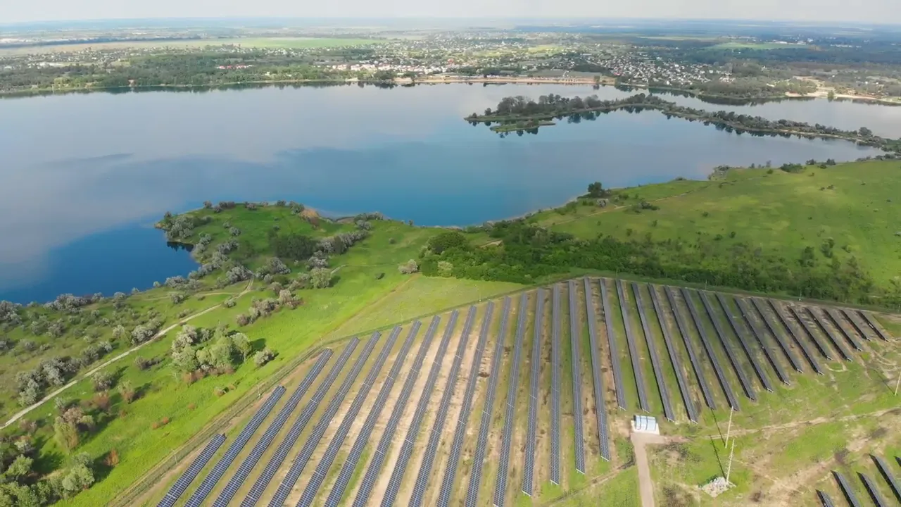 Renewable energy
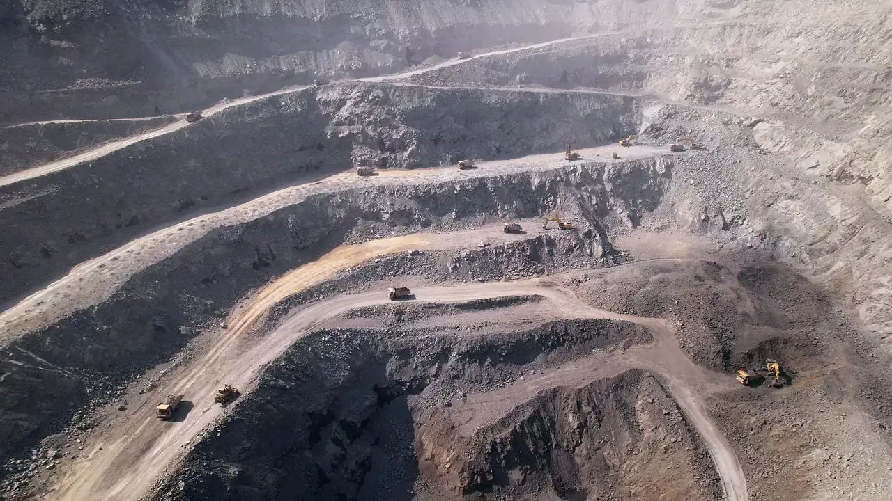 Quarries & aggregates
 Land & property
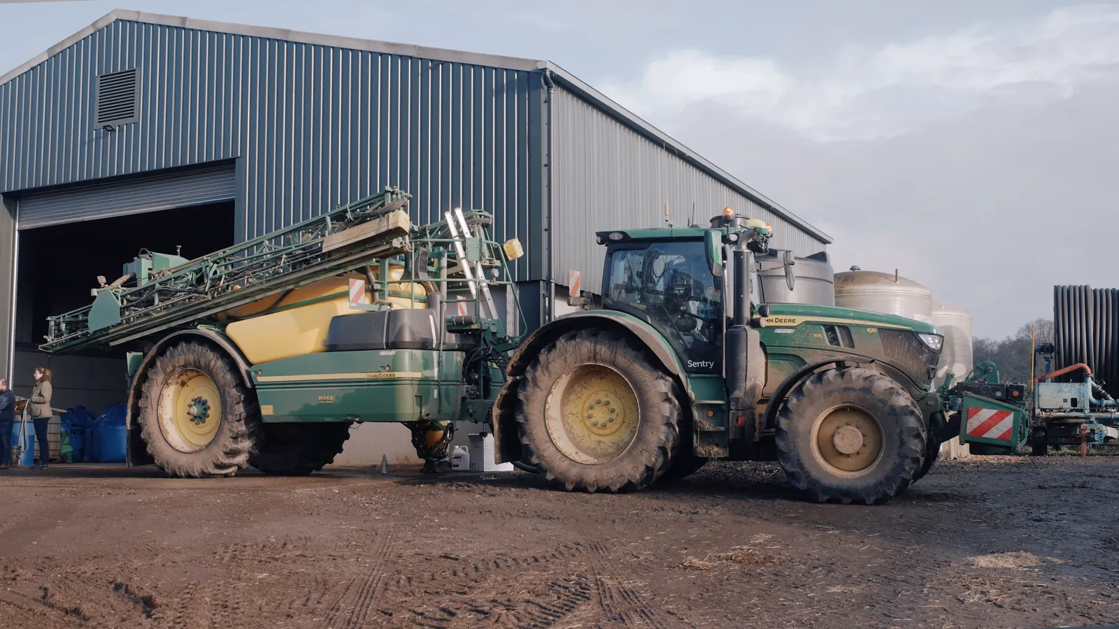 Agriculture & estatesOUR WORK
OUR PROCESS
We agree the area, outputs and accuracy you need, then check airspace, access and permissions.
A planned, automated flight grid captures the site consistently — and can be repeated on every visit.
Images are processed into maps, models and measurements, then checked before anything is delivered.
You receive easy-to-use files and links, ready for your team, your report or the next site meeting.
TEMPORARY STOCK FOOTAGE · NO AUDIO
SEE THE DIFFERENCE
Our drone surveys give you the full picture — visually and in numbers. From 3D models to precise measurements, we help you see what’s really happening on site.
Book a one-off survey or regular visits flown the same way each time, so progress can be compared like for like.
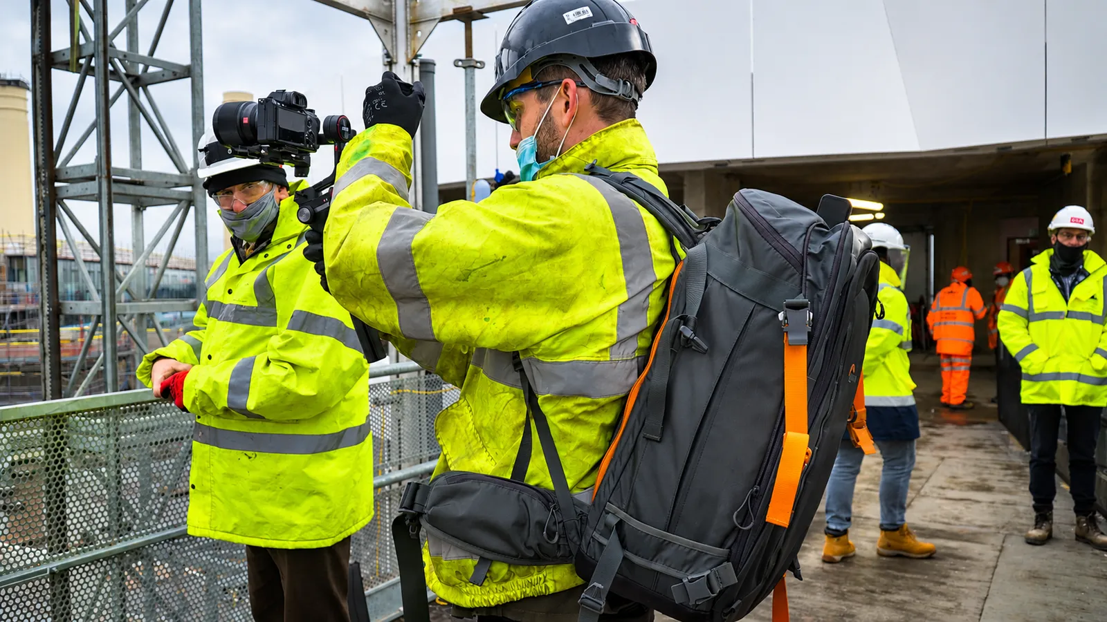
ACCURACY, PLANNED IN
Not every project needs the same level of accuracy.
Progress monitoring, planning and stakeholder updates usually need clear, consistent and measurable data. If your project needs survey-grade, georeferenced accuracy, tell us at the brief stage — we’ll confirm the right approach, such as ground control points, before we quote, and we’re happy to work alongside your surveyor or engineer.
Not sure whether we can fly your site?
Send us the postcode or What3Words location and we’ll take a look.
FREQUENTLY ASKED QUESTIONS
We fly a planned, overlapping flight pattern over your site and capture hundreds of high-resolution images. Those images are processed into a stitched 2D map (an orthomosaic), a 3D model and measurements, giving you an accurate, up-to-date view of the whole site from a single visit.
It depends on the flight height, image overlap, aircraft and whether ground control points are used. For progress monitoring, planning, stockpile checks and stakeholder updates, a standard mapping flight is usually ideal. If your project needs survey-grade, georeferenced accuracy, tell us at the brief stage and we will confirm the right approach before we quote.
Not always. Drone mapping is a fast, cost-effective way to measure and record a site, but legal boundaries, design-critical setting out and certified measured surveys remain the job of a chartered surveyor. We are happy to work alongside your surveyor or engineer and supply the aerial data they need.
Typically a high-resolution orthomosaic (GeoTIFF and PDF), a 3D model, a point cloud and a summary of the measurements you asked for, plus aerial photos and video if required. We confirm formats and any CAD, BIM or GIS requirements before the flight so the files drop straight into your workflow.
Yes. We can fly the same flight plan on each visit, so maps, models and volumes can be compared like for like. Repeat visits can be booked weekly, monthly or at key project milestones.
Usually, with the site manager’s agreement, a site induction and a flight plan that works around plant, cranes and people on site. We check airspace, access and permissions for every location before confirming a flight.
READY TO GET STARTED?
Send us the site location, roughly how large it is and what you need from the data. We’ll recommend the right approach and put a clear quote together.
Suffolk · Essex · London · East Anglia · UK-wide
Your privacy choices
Necessary technology keeps forms, security and your choices working. With permission, we also use analytics and external video players.
Read the Privacy & Cookie PolicyCookie settings
Optional services stay off unless you switch them on. You can return to these settings from the footer at any time.
Consent storage, website security, form delivery and Cloudflare Turnstile spam protection.
Google Analytics helps us understand page and device usage. It is not loaded before consent.
YouTube and Vimeo players can receive device, network and viewing information.