
DRONE · CONSTRUCTION & INFRASTRUCTURE
Construction & Site Aerial Coverage.
SEE THE SITE AS A WHOLE.
Repeatable aerial records of construction sites, renewables and infrastructure: progress photography, site context and footage for stakeholder updates.
- 15+YEARS
EXPERIENCE - SUFFOLK BASED
UK-WIDE - CAA-COMPLIANT
INSURED OPERATIONS
Root Power · Tillingdown
ONE VISIT, FOUR VIEWPOINTS
The same positions, every time.
For progress records we log the exact positions, heights and headings on the first visit and repeat them on every return, so the sequence lines up. Scrub through the viewpoints from our Root Power site at Tillingdown.
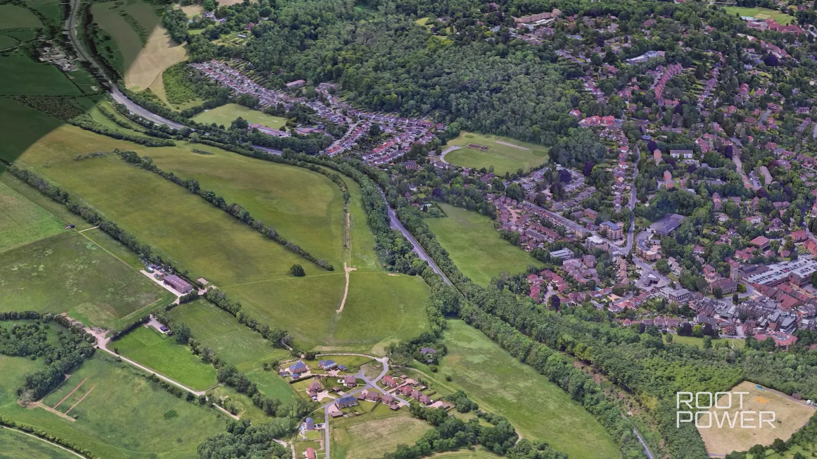
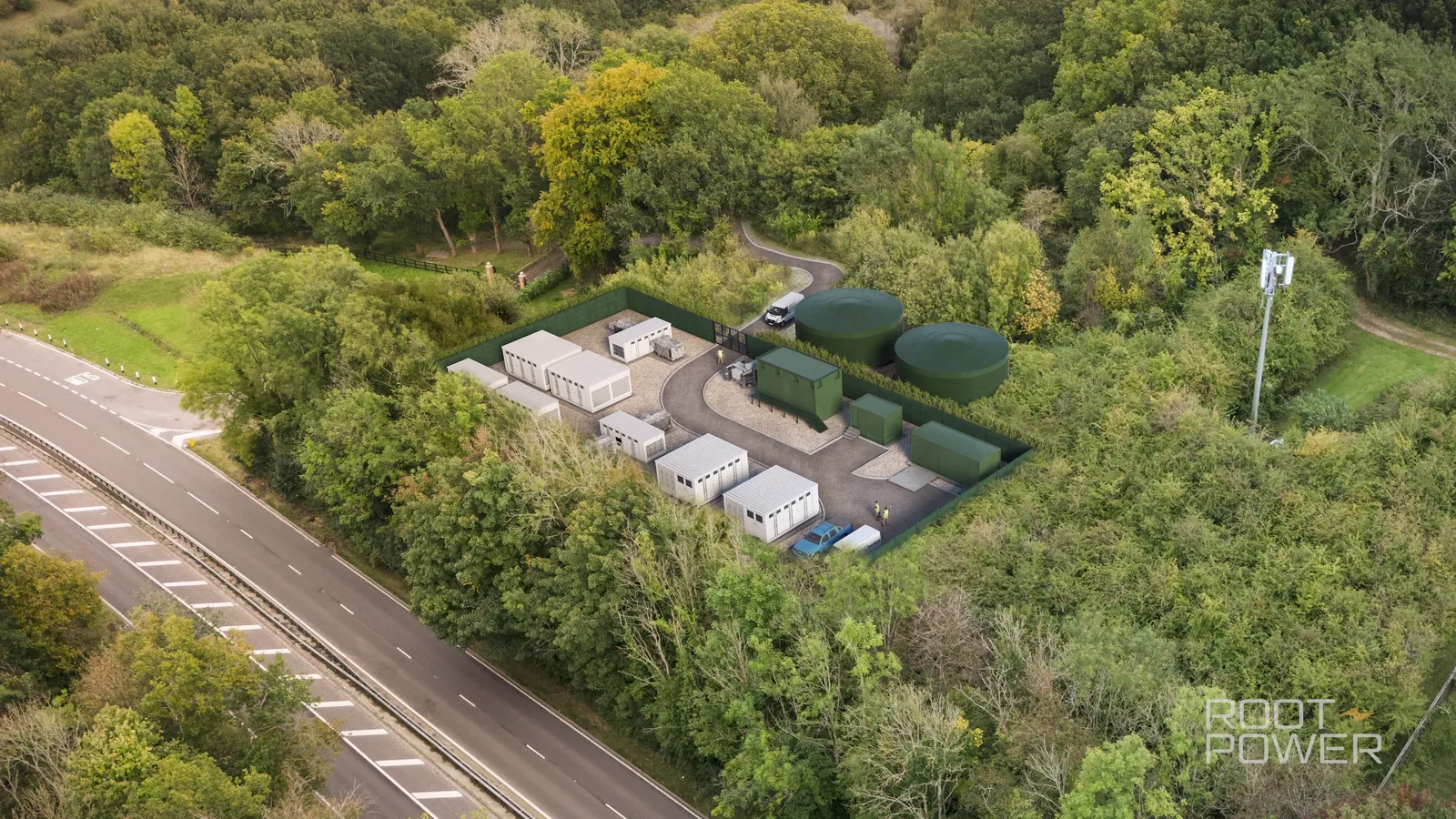
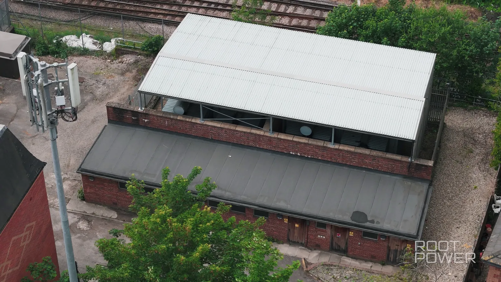
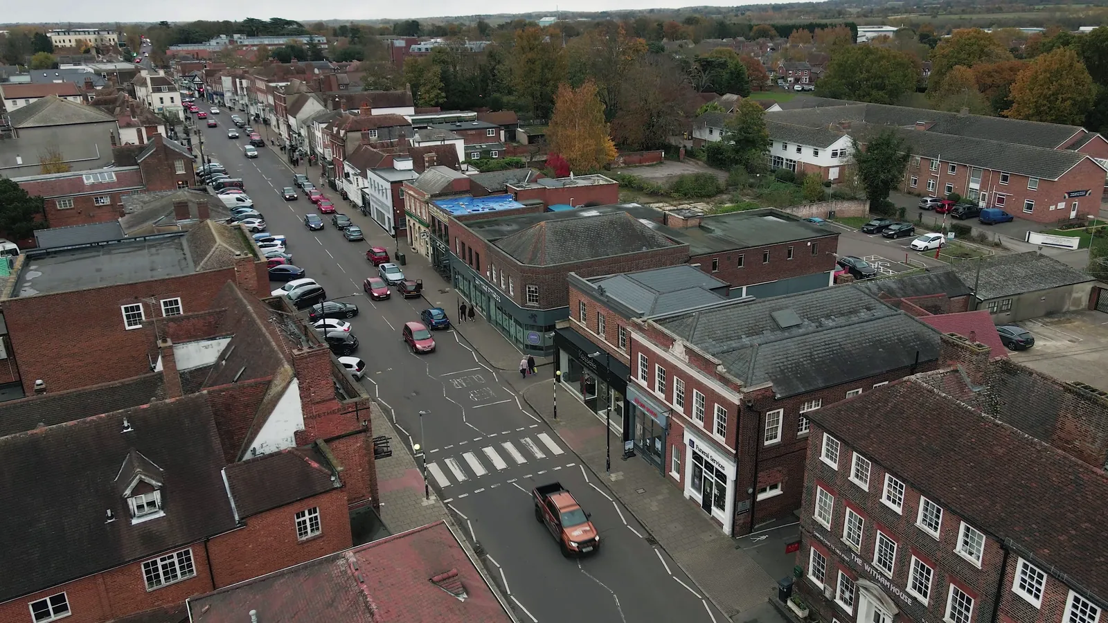
Our aerial photography for Root Power · Tillingdown, Caterham
WHY IT MATTERS
A site changes faster than anyone on it notices.
Aerial records give project teams, investors and communities a view no one on the ground has: the whole site, in context, on a repeatable schedule. The images become the progress report, the planning evidence and the story of the build.
We have flown for energy and construction clients including Root Power and Power-Zero, and can add mapping and volume measurement when the project needs data as well as pictures.
FROM OUR SITE WORK
Compounds, arrays and the people building them.
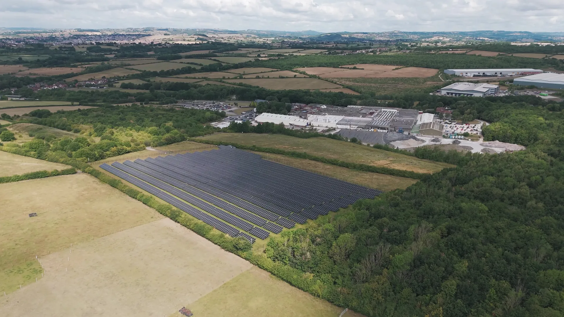 Denby · solar
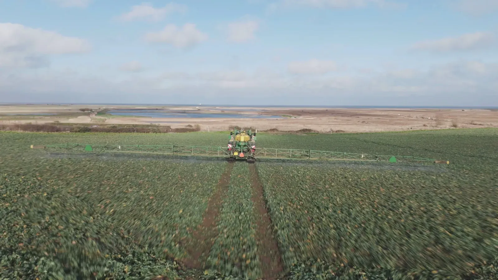 Sentry · agriculture
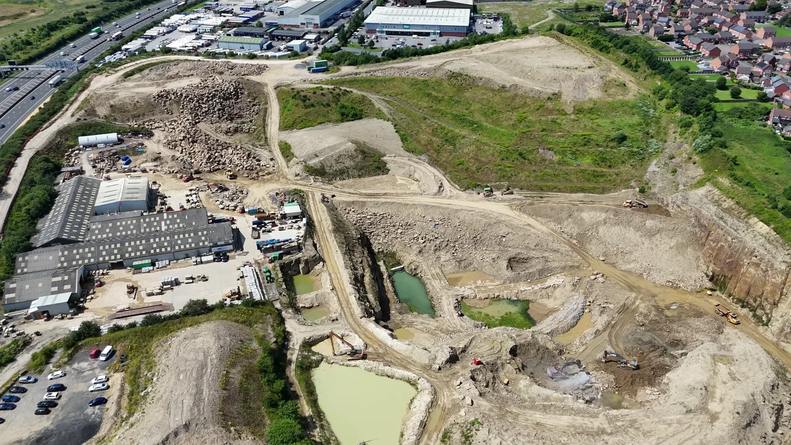 Extraction
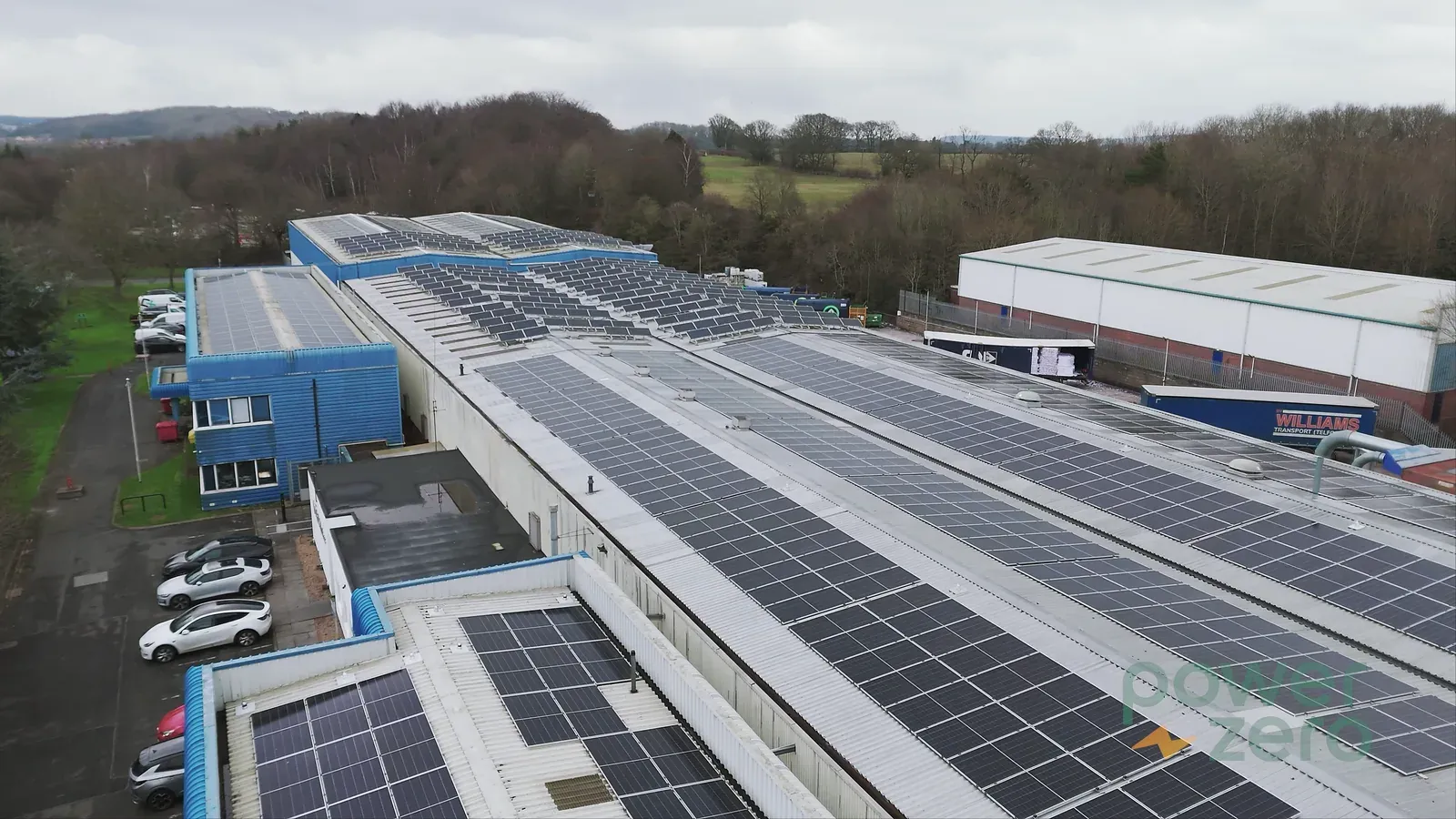 Rooftop
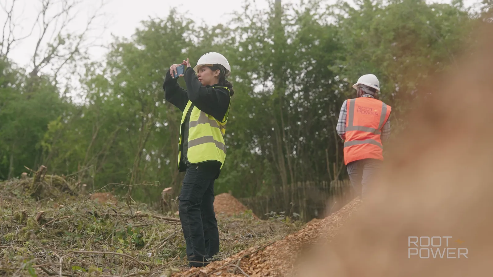 On the ground
Our own aerial and site photography
HOW WE WORK
Built for repeat visits.
- 01
Induct
Site induction, RAMS and airspace checks completed before the first flight.
- 02
Baseline
Positions, heights and headings recorded so every visit matches.
- 03
Repeat
Monthly, at milestones or on request, with the same shot list.
- 04
Report
Dated image sets and short clips, ready for board packs and community updates.
CLEAR RATES. AN AGREED SCOPE.
Know what goes into the quote.
Site visits are priced by the hour on site. Regular programmes are quoted as a series.
Explore pricing and options →- Standalone drone booking · first hour
- £249
- Drone added to a filming booking · first hour
- £199
- Each additional hour
- £49
Includes a CAA-compliant, insured operator. Airspace checks and permissions are arranged before the day. No VAT is currently added to our prices.
BEFORE YOU BOOK
Your questions,
answered.
Are you licensed and insured?
Yes. Our operators hold current CAA qualifications and we carry public liability insurance for drone operations. We check the airspace and obtain any permissions before we fly.
What if the weather is bad?
We check forecasts the day before and reschedule if wind or rain would make the flight unsafe or the footage poor. Rescheduling for weather is free.
Can you fly near people or buildings?
Within the rules for our aircraft and qualifications, yes. We plan each flight around the site, the people present and the airspace, and will tell you early if something is not permitted.
Can you provide measurements and maps?
Yes. See drone surveying for orthomosaics, 3D models and volumes.
Do you work on live sites?
Yes. We follow the site rules, wear the PPE you require and coordinate flights with the site manager.
Where do you provide this service?
We are Suffolk-based and work across Essex, London and the UK. Post-production is handled at our studio, so you can send material from anywhere in the country.
LET’S MAKE A START
Tell us what you have in mind.
Share what you need, where and when. We’ll come back with a practical plan and a clear quote.
Based in Suffolk, working across Essex, Suffolk, London and the UK.
Your enquiry is handled under our privacy policy.